Файл:Cathedral of Saint Sava, Belgrade.jpg
Арыгінальны файл (2 753 × 1 843 кропак, аб’ём файла: 1,15 MB, тып MIME: image/jpeg)
| Апісанне |
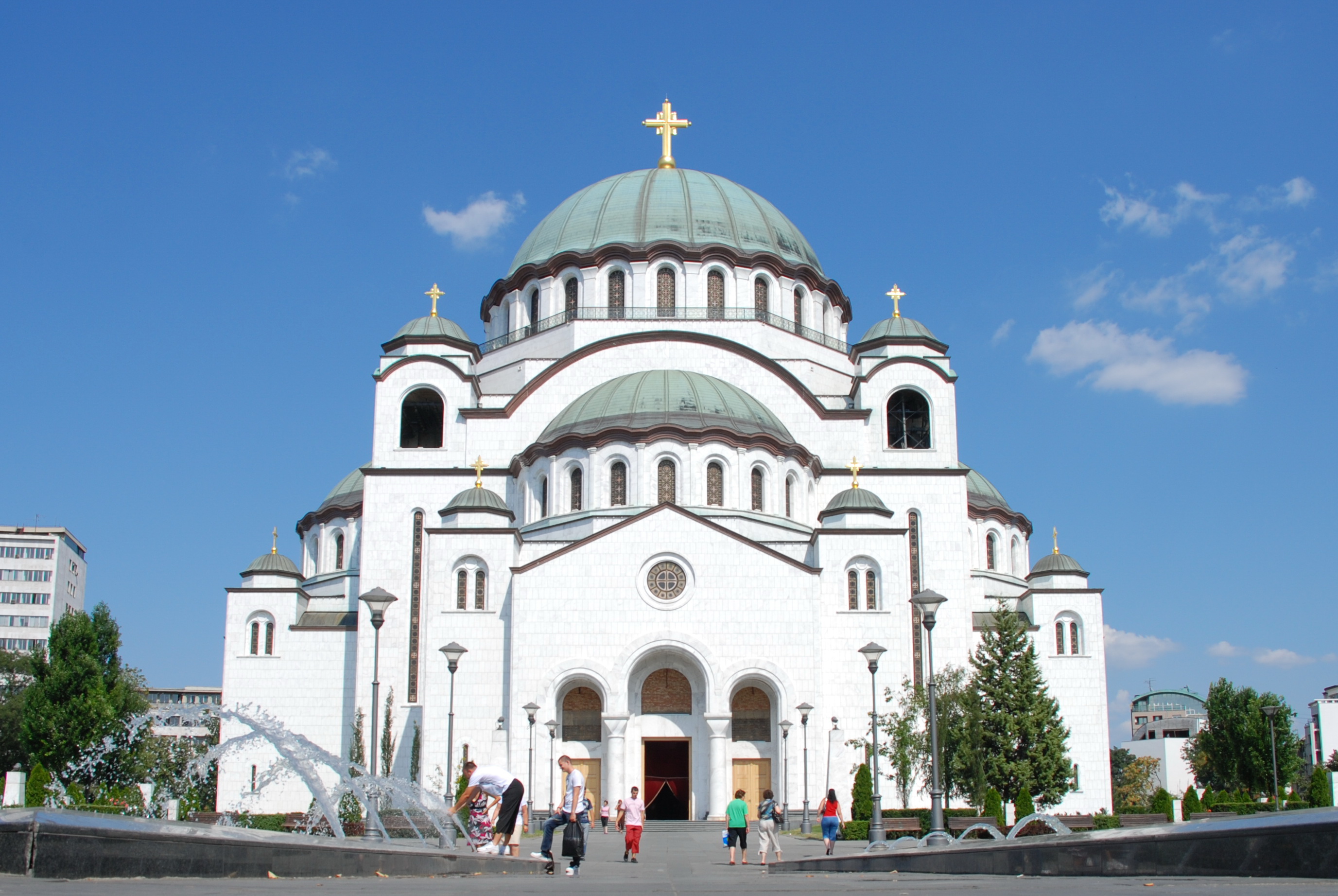
The Cathedral of Saint Sava is an Orthodox church in Belgrade, the capital of Serbia, the largest in the world. The church is dedicated to Saint Sava, founder of the Serbian Orthodox Church and an important figure in medieval Serbia. It is built on the Vracar plateau, on the location where his remains are thought to have been burned in 1595 by the Ottoman Empire's Sinan Pasha. From its location, it dominates Belgrade's cityscape, and is perhaps the most monumental building in the city. The building of the church structure is being financed exclusively by donations. The parish home is nearby, as will be the planned patriarchal building. <a href="http://en.wikipedia.org/wiki/Cathedral_of_Saint_Sava" rel="nofollow">en.wikipedia.org/wiki/Cathedral_of_Saint_Sava</a> <a href="http://www.hramsvetogsave.com" rel="nofollow">www.hramsvetogsave.com</a> <a href="http://en.wikipedia.org/wiki/Saint_Sava" rel="nofollow">en.wikipedia.org/wiki/Saint_Sava</a> |
||
| Дата | |||
| Крыніца | originally posted to Flickr as Cathedral of Saint Sava, Belgrade | ||
| Аўтар | George Groutas | ||
| Дазвол (Паўторнае выкарыстанне гэтага файла) |
Гэты файл даступны па ліцэнзіі Creative Commons Пазначэнне аўтарства 2.0 Агульны
|
| Camera location | | View this and other nearby images on: OpenStreetMap |
|---|
Гісторыя файла
Націснуць на даце з часам, каб паказаць файл, якім ён тады быў.
| Дата і час | Драбніца | Памеры | Удзельнік | Тлумачэнне | |
|---|---|---|---|---|---|
| актуальн. | 08:17, 24 сакавіка 2010 | | 2 753 × 1 843 (1,15 MB) | Flickr upload bot | Uploaded from http://flickr.com/photo/22083482@N03/3770037751 using Flickr upload bot |
Выкарыстанне файла
Наступная 1 старонка выкарыстоўвае гэты файл:
Глабальнае выкарыстанне файла
Гэты файл выкарыстоўваецца ў наступных вікі:
- Выкарыстанне ў af.wikipedia.org
- Выкарыстанне ў bg.wikipedia.org
- Выкарыстанне ў ceb.wikipedia.org
- Выкарыстанне ў en.wikipedia.org
- Выкарыстанне ў es.wikipedia.org
- Выкарыстанне ў hr.wikipedia.org
- Выкарыстанне ў hu.wikipedia.org
- Выкарыстанне ў io.wikipedia.org
- Выкарыстанне ў it.wikipedia.org
- Выкарыстанне ў no.wikipedia.org
- Выкарыстанне ў ro.wikipedia.org
- Выкарыстанне ў ru.wikinews.org
- Выкарыстанне ў sh.wikipedia.org
- Выкарыстанне ў sl.wikipedia.org
- Выкарыстанне ў sr.wikipedia.org
- Выкарыстанне ў sv.wikipedia.org
- Выкарыстанне ў te.wikipedia.org
- Выкарыстанне ў uk.wikipedia.org
- Выкарыстанне ў zh.wikipedia.org