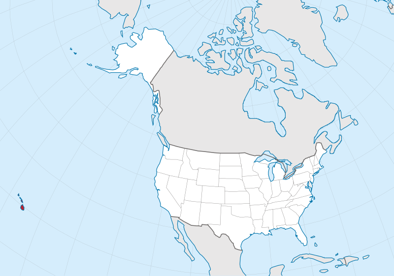
Файл:Hawaii in United States (US50).svg

Памер гэтага PNG-прагляду для SVG-файла: 800 × 561 пікселяў. Іншыя разрозненні: 320 × 224 пікселяў | 640 × 449 пікселяў | 1 024 × 718 пікселяў | 1 280 × 897 пікселяў | 2 560 × 1 795 пікселяў | 2 078 × 1 457 пікселяў.
Арыгінальны файл (файл SVG, намінальна 2 078 × 1 457 кропак, аб’ём файла: 217 KB)
Тлумачэнне
.svg)
.svg)
.svg)
.svg)
.svg)
.svg)
.svg)

-en.svg)

.svg)
.svg)
.svg)

_(US48).svg)
_(small_islands_magnified)_(-mini_map_-rivers).svg)
.svg)
_(extra_close)_(US48).svg)
.svg)
_(zoom).svg)

.svg)


_(UNMIK).svg)
.svg)
_(disputed_hatched).svg)
_(claimed_and_disputed_hatched).svg)
.svg)
.svg)
_(%2Ball_claims_hatched).svg)

.svg)
_(shade).svg)
_(shade)_(special_marker).svg)
_(-mini_map).svg)
_(-mini_map).svg)
_(-mini_map).svg)


.svg)

.svg)
.svg)
Ліцэнзіяванне
This image is in the public domain in the United States because it only contains materials that originally came from the United States Geological Survey, an agency of the United States Department of the Interior. For more information, see the official USGS copyright policy.
|

|
I'd greatly appreciate, that you attribute this media file to Wikimedia Commons, if used outside Wikipedia or Commons. For use in publications such as books, newspapers, blogs, websites, please insert here the following line:
|
.svg&action=edit&redlink=1)
Гісторыя файла
Націснуць на даце з часам, каб паказаць файл, якім ён тады быў.
| Дата і час | Драбніца | Памеры | Удзельнік | Тлумачэнне | |
|---|---|---|---|---|---|
| актуальн. | 21:09, 20 сакавіка 2012 | | 2 078 × 1 457 (217 KB) | TUBS | corr alabama colors |
| 23:59, 30 ліпеня 2011 |  | 2 078 × 1 457 (326 KB) | TUBS | == {{int:filedesc}} == {{Information |Description={{de|Lage von XY (siehe Dateiname) in den Vereinigten Staaten.}} {{en|Location of state of XY (see filename) in the United States}} |Source={{own}}{{Adobe |
Выкарыстанне файла
Наступная 1 старонка выкарыстоўвае гэты файл:
Глабальнае выкарыстанне файла
Гэты файл выкарыстоўваецца ў наступных вікі:
- Выкарыстанне ў ang.wikipedia.org
- Выкарыстанне ў ar.wikipedia.org
- Выкарыстанне ў ary.wikipedia.org
- Выкарыстанне ў arz.wikipedia.org
- Выкарыстанне ў ast.wikipedia.org
- Выкарыстанне ў az.wikipedia.org
- Выкарыстанне ў ca.wikipedia.org
- Выкарыстанне ў ceb.wikipedia.org
- Выкарыстанне ў crh.wikipedia.org
- Выкарыстанне ў diq.wikipedia.org
- Выкарыстанне ў el.wikipedia.org
- Выкарыстанне ў en.wikipedia.org
- Выкарыстанне ў eu.wikipedia.org
- Выкарыстанне ў fi.wiktionary.org
- Выкарыстанне ў fr.wikinews.org
- Выкарыстанне ў ga.wikipedia.org
- Выкарыстанне ў gl.wikipedia.org
- Выкарыстанне ў ha.wikipedia.org
- Выкарыстанне ў ht.wikipedia.org
- Выкарыстанне ў hy.wikipedia.org
- Выкарыстанне ў ia.wikipedia.org
- Выкарыстанне ў ie.wikipedia.org
- Выкарыстанне ў kab.wikipedia.org
- Выкарыстанне ў ku.wikipedia.org
- Выкарыстанне ў lad.wikipedia.org
- Выкарыстанне ў la.wikipedia.org
- Выкарыстанне ў nds.wikipedia.org
- Выкарыстанне ў oc.wikipedia.org
- Выкарыстанне ў pap.wikipedia.org
- Выкарыстанне ў sr.wikipedia.org
- Выкарыстанне ў tg.wikipedia.org
- Выкарыстанне ў tt.wikipedia.org
- Выкарыстанне ў uk.wikipedia.org
- Выкарыстанне ў www.wikidata.org
.svg)