Файл:Netherlands Antilles (Leeward Islands) location map.svg

Памер гэтага PNG-прагляду для SVG-файла: 300 × 599 пікселяў. Іншыя разрозненні: 120 × 240 пікселяў | 240 × 480 пікселяў | 384 × 768 пікселяў | 513 × 1 024 пікселяў | 1 026 × 2 048 пікселяў | 1 102 × 2 200 пікселяў.
Арыгінальны файл (файл SVG, намінальна 1 102 × 2 200 кропак, аб’ём файла: 42 KB)
_location_map.svg)
Тлумачэнне
| Апісанне |
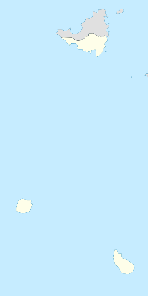
Deutsch: de|1=Positionskarte der Niederländische Antillen (Inseln über dem Winde)
Quadratische Plattkarte, N-S-Streckung 107 %, Geographische Begrenzung der Karte:
English: Location map of the Netherlands Antilles (Leeward Islands)
Equirectangular projection, N/S stretching 107 %, Geographic limits of the map:
|
| Дата | |
| Крыніца | Уласная праца |
| Аўтар | Rosso Robot |
| SVG genesis | Гэты файл (вектарная выява) быў створаны з дапамогай Inkscape, or with something else. |

|
This map has been made or improved in the German Kartenwerkstatt (Map Lab). You can propose maps to improve as well.
|
Ліцэнзіяванне
Я, уладальнік аўтарскіх правоў на гэты твор, добраахвотна публікую яго на ўмовах наступных ліцэнзій:
Гэты файл даступны па ліцэнзіі Creative Commons Пазначэнне аўтарства - На тых самых умовах 3.0 Непартаваная
- Вы можаце свабодна:
- дзяліцца творам – капіраваць, распаўсюджваць і перадаваць гэты твор.
- ствараць вытворныя творы – адаптаваць гэты твор
- Пры выкананні наступных умоў:
- атрыбуцыя – вы павінны пазначыць аўтарства гэтага твора, даць спасылку на ліцэнзію і пазначыць ці рабіў аўтар якія-небудзь змены. Гэта можна рабіць кожным зразумелым чынам, але не так, каб наводзіць па думку, што ліцэнзіят падтрымлівае вас або выкарыстанне вамі гэтага твора.
- распаўсюджванне на тых жа ўмовах – Калі вы змяняеце, адаптуеце ці ствараеце вытворны твор на аснове гэтага, то павінны распаўсюджваць атрыманы ў выніку твор на ўмовах такой самай ці сумяшчальнай ліцэнзіі, што і арыгінал.

|
Дазваляецца капіяваць, распаўсюджваць і(або) мадыфікаваць гэты дакумент на ўмовах ліцэнзіі GNU FDL версіі 1.2 або навейшай, выдадзенай Фондам свабоднага праграмнага забеспячэння; без Нязменных раздзелаў, без тэкстаў Вокладак. Копія ліцэнзіі ёсць у раздзеле GNU Free Documentation License. |
Вы можаце выбраць любую з гэтых ліцэнзій.
Гісторыя файла
Націснуць на даце з часам, каб паказаць файл, якім ён тады быў.
| Дата і час | Драбніца | Памеры | Удзельнік | Тлумачэнне | |
|---|---|---|---|---|---|
| актуальн. | 17:55, 13 чэрвеня 2009 | | 1 102 × 2 200 (42 KB) | Rosso Robot | (c) |
| 17:51, 13 чэрвеня 2009 |  | 1 102 × 2 200 (42 KB) | Rosso Robot | (c) | |
| 17:42, 13 чэрвеня 2009 |  | 1 102 × 2 200 (52 KB) | Rosso Robot | solved trace error | |
| 13:45, 12 чэрвеня 2009 |  | 1 102 × 2 200 (122 KB) | Rosso Robot | cropped map | |
| 13:38, 12 чэрвеня 2009 |  | 2 200 × 2 200 (122 KB) | Rosso Robot | {{Information |Description={{de|1=de|1=Positionskarte der Niederländische Antillen (Inseln über dem Winde) Quadratische Plattkarte, N-S-Streckung 107 %, Geographische Begrenzun |
Выкарыстанне файла
Наступныя 2 старонкі выкарыстоўваюць гэты файл:
Глабальнае выкарыстанне файла
Гэты файл выкарыстоўваецца ў наступных вікі:
- Выкарыстанне ў ar.wikipedia.org
- Выкарыстанне ў ast.wikipedia.org
- Выкарыстанне ў ceb.wikipedia.org
- Выкарыстанне ў de.wikipedia.org
- Liste der Nationalparks im Königreich der Niederlande
- Mount Scenery
- Wikipedia:Kartenwerkstatt/Positionskarten/Nordamerika
- Juancho E. Yrausquin Airport
- Green Island (Saba)
- The Quill (Vulkan)
- Vorlage:Positionskarte Niederländische Antillen (Inseln über dem Winde)
- Wikipedia:Kartenwerkstatt/Archiv/2009-06
- Wikipedia Diskussion:WikiProjekt Georeferenzierung/Archiv/2017-I
- Saba National Marine Park
- Fort Bay
- Ladder Bay
- Выкарыстанне ў el.wikipedia.org
- Выкарыстанне ў en.wikipedia.org
- Выкарыстанне ў eo.wikipedia.org
- Выкарыстанне ў fa.wikipedia.org
- Выкарыстанне ў fr.wikipedia.org
- Saba
- Saint-Eustache (Antilles)
- The Bottom
- Oranjestad (Saint-Eustache)
- Mont Scenery
- Quill (volcan)
- Modèle:Géolocalisation/Îles SSS
- Windwardside
- Zion's Hill
- Aéroport Juancho E. Yrausquin
- Phare d'Oranjestad
- Phare de St. John's
- Phare de Klein Curaçao
- Fort Willem I
- Fort Amsterdam (Saint-Martin)
- Musée Harry L. Johnson de Windwardside
- Église du Saint-Rosaire de Zion's Hill
- Église de la Conversion-de-Saint-Paul de Windwardside
- Église de la Sainte-Trinité de Windwardside
- Église du Christ de The Bottom
Паказаць глабальнае выкарыстанне гэтага файла.
_location_map.svg)
_location_map.svg)