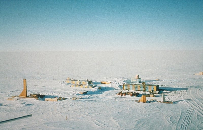
Файл:Wostok-Station core32.jpg

Памер папярэдняга прагляду: 800 × 515 пікселяў. Іншыя разрозненні: 320 × 206 пікселяў | 640 × 412 пікселяў | 1 000 × 644 пікселяў.
Арыгінальны файл (1 000 × 644 кропак, аб’ём файла: 89 KB, тып MIME: image/jpeg)
Гісторыя файла
Націснуць на даце з часам, каб паказаць файл, якім ён тады быў.
| Дата і час | Драбніца | Памеры | Удзельнік | Тлумачэнне | |
|---|---|---|---|---|---|
| актуальн. | 23:21, 5 красавіка 2007 |  | 1 000 × 644 (89 KB) | Raul6 | |
| 15:16, 4 лютага 2007 |  | 768 × 494 (45 KB) | Hardscarf | {{Information |Description=Wostok-Station (NOAA) Quelle: http://www.ngdc.noaa.gov/paleo/slides/slideset/15/15_300_slide.html Lizenz: PD Beschreibung: Vostok Site The Vostok site was chosen by the Soviet Union for the deep coring possibilities it offer |
Выкарыстанне файла
Наступныя 2 старонкі выкарыстоўваюць гэты файл:
Глабальнае выкарыстанне файла
Гэты файл выкарыстоўваецца ў наступных вікі:
- Выкарыстанне ў ar.wikipedia.org
- Выкарыстанне ў ast.wikipedia.org
- Выкарыстанне ў az.wikipedia.org
- Выкарыстанне ў be-tarask.wikipedia.org
- Выкарыстанне ў bg.wikipedia.org
- Выкарыстанне ў bs.wikipedia.org
- Выкарыстанне ў ca.wikipedia.org
- Выкарыстанне ў ceb.wikipedia.org
- Выкарыстанне ў cs.wikipedia.org
- Выкарыстанне ў cv.wikipedia.org
- Выкарыстанне ў de.wikipedia.org
- Выкарыстанне ў en.wikipedia.org
- Выкарыстанне ў es.wikipedia.org
- Выкарыстанне ў es.wikivoyage.org
- Выкарыстанне ў et.wikipedia.org
- Выкарыстанне ў eu.wikipedia.org
- Выкарыстанне ў fa.wikipedia.org
- Выкарыстанне ў fi.wikipedia.org
- Выкарыстанне ў fr.wikipedia.org
- Выкарыстанне ў he.wikipedia.org
- Выкарыстанне ў hu.wikipedia.org
- Выкарыстанне ў hy.wikipedia.org
- Выкарыстанне ў id.wikipedia.org
- Выкарыстанне ў incubator.wikimedia.org
- Выкарыстанне ў it.wikipedia.org
Паказаць глабальнае выкарыстанне гэтага файла.
